
Atlas Journeys
My own take on Wanderlog, and a sibling of Atlas New Tab. A trip planner that works offline, is dark down to the map, and syncs live, with reservations, a shared budget and routes between every stop.
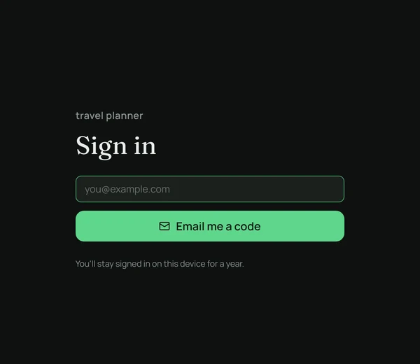
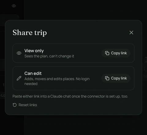
Sign-in is limited to approved emails. Share links work for anyone, without an account.
Features
Plan day by day
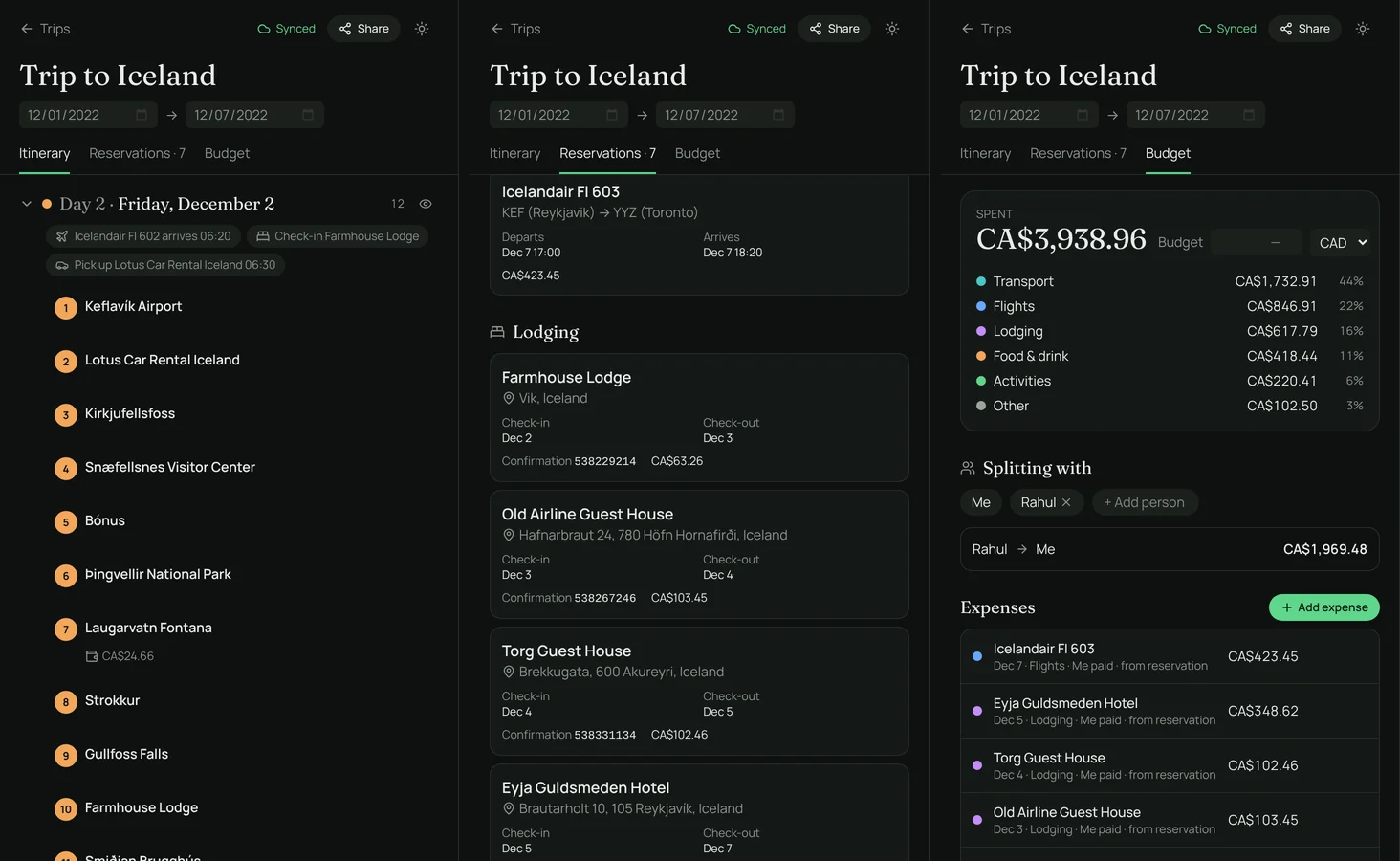
Days come from the trip dates, plus lists like “Places to visit”. Drag stops within and between days, and give each a time, notes and a cost.
Real routes between stops
Each leg shows the drive, walk, bike or transit time, the map draws the actual route, and every day shows its total travel.
A dark map
Numbered, colour-coded pins for each day on a dark vector map, with a satellite toggle. Places come from OpenStreetMap.
Reservations
Flights, stays, rental cars, trains and restaurants, with confirmation numbers and times. They show up on the right days.
Budget and splitting
Costs from bookings and stops add up by category, in any currency. Add who paid and who it’s split between, and it works out who owes whom.
Works offline
An installable app that keeps trips on the device, so it opens instantly with no signal. Maps for a trip’s area can be saved too.
Live sync and sharing
Trips sync across devices and edits made offline merge when you reconnect. Share view-only or can-edit links that work without an account.
Bring trips in
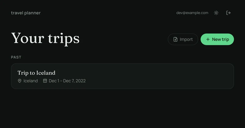
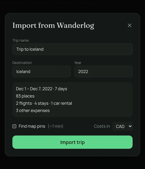
Import a Wanderlog trip from its PDF, parsed on your device. Forward booking emails to have them matched to the right trip.
Claude connector
Paste a share link into Claude and it can read the trip, or change it with approval for every edit.
No paywall
Offline access, dark mode and everything else are just there. No Pro tier and no ads.
Screenshots
How it’s built
- App
- React, TypeScript, Vite and Tailwind CSS, installable as a PWA
- Trip data
- A Yjs document per trip, stored in IndexedDB, so edits merge cleanly
- Sync
- A Cloudflare Durable Object per trip over WebSockets, with a D1 index
- Sign-in
- Email codes from the Worker and a one-year rolling session
- Map
- MapLibre with Protomaps vector tiles and MapTiler satellite
- Routing
- OSRM for driving, walking and cycling, and Transitous for transit
Map data © OpenStreetMap contributors, Protomaps and MapTiler. Routing by FOSSGIS OSRM and Transitous.